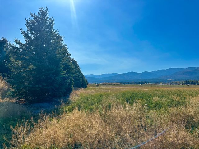
Horses graze in the meadow with a storm brewing
Welcome to

Plains

River-bottom ranch country where the Salish once wintered their horses

town · Clark Fork Valley

Reviewed by Tatum Hoehn · October 6, 2026

Explore Plains Real Estate →
1,106
Population (2020 Census, Town of Plains)
2,474 ft
Town Elevation
16
Critical Access Hospital Beds in Town (Clark Fork Valley Hospital)
218
Plains Elementary Enrollment, PK-6 (2024-25)
121
Plains High School Enrollment, Grades 9-12 (2024-25)

Statistics as of June 30, 2025

Local Overview

About Plains

Plains is an incorporated town of about 1,100 people on the lower Clark Fork River in Sanders County, at the junction where Montana Highway 28 leaves the MT 200 river corridor and climbs northeast toward the Flathead Valley. The name is the short version of a longer story: this broad, grassy river valley was known as Horse Plains — often Wild Horse Plains — because the Salish and neighboring tribes wintered their horse herds on its grasses and gathered here for councils. The Northern Pacific arrived in the early 1880s, the town grew up around the 1883 station, and farming, ranching, and lumbering built the community that still shapes its character today.

For a town of its size, Plains keeps an unusual amount of daily life close to home. Clark Fork Valley Hospital, a 16-bed critical access hospital with an attached long-term care facility and a family-medicine clinic network, sits right in town, an asset most communities of 1,100 simply do not have. The Plains K-12 district runs its own elementary and high school, the small main-street business district covers groceries, cafes, fuel, and hardware, and the Sanders County Fairgrounds sit just across the river from downtown. Thompson Falls, the county seat, is a drive downriver on MT 200; Missoula, roughly an hour and a half away, handles the airport, big-box runs, and specialist appointments.

Day-to-day, this is a working ranch valley more than a resort town. The Clark Fork runs through the middle of it — the town literally straddles the river, fairgrounds on one bank and the main street grid on the other — and Lolo National Forest country rises on the surrounding mountainsides, with campgrounds, trails, and rentable fire lookouts managed from the local Plains/Thompson Falls Ranger District. At about 2,500 feet, the valley floor sits low by western Montana standards, and the rhythm of the year still follows haying, hunting seasons, and the county fair.
Seasonality

Living in Plains Through the Seasons

Summer belongs to the river and the hayfields. The Clark Fork carries floaters and anglers through the long, warm days, the farmers market runs from mid-August into October, and the whole season builds toward the Sanders County Fair: three nights of PRCA rodeo, a demolition derby, and 4-H barns at the fairgrounds across the river, the event that most defines the town's calendar. Late summer also brings the valley's honest tradeoff: wildfire season. The 2021 West Lolo Complex, sparked by lightning, burned more than 39,000 acres near Plains, and smoky stretches are a periodic reality across western Montana; residents on timbered parcels treat defensible space and a smoke plan as routine upkeep, not an afterthought.

Fall and winter turn the valley toward hunting seasons, wood stoves, and one of the region's quieter pleasures — bighorn sheep coming down to the Koo-Koo-Sint viewing corridor along MT 200 from October into May, with the best watching in November and December. Winters are genuine Montana winters; the climate is continental, with cold snaps and river fog, but the valley floor sits at about 2,500 feet, low for western Montana, and locals will tell you the season here runs gentler than in the high valleys. Plan for winter tires, a plowing arrangement on rural driveways, and the occasional icy stretch of MT 200, and the season is very livable.

Bighorn ram on a hillside in early winter
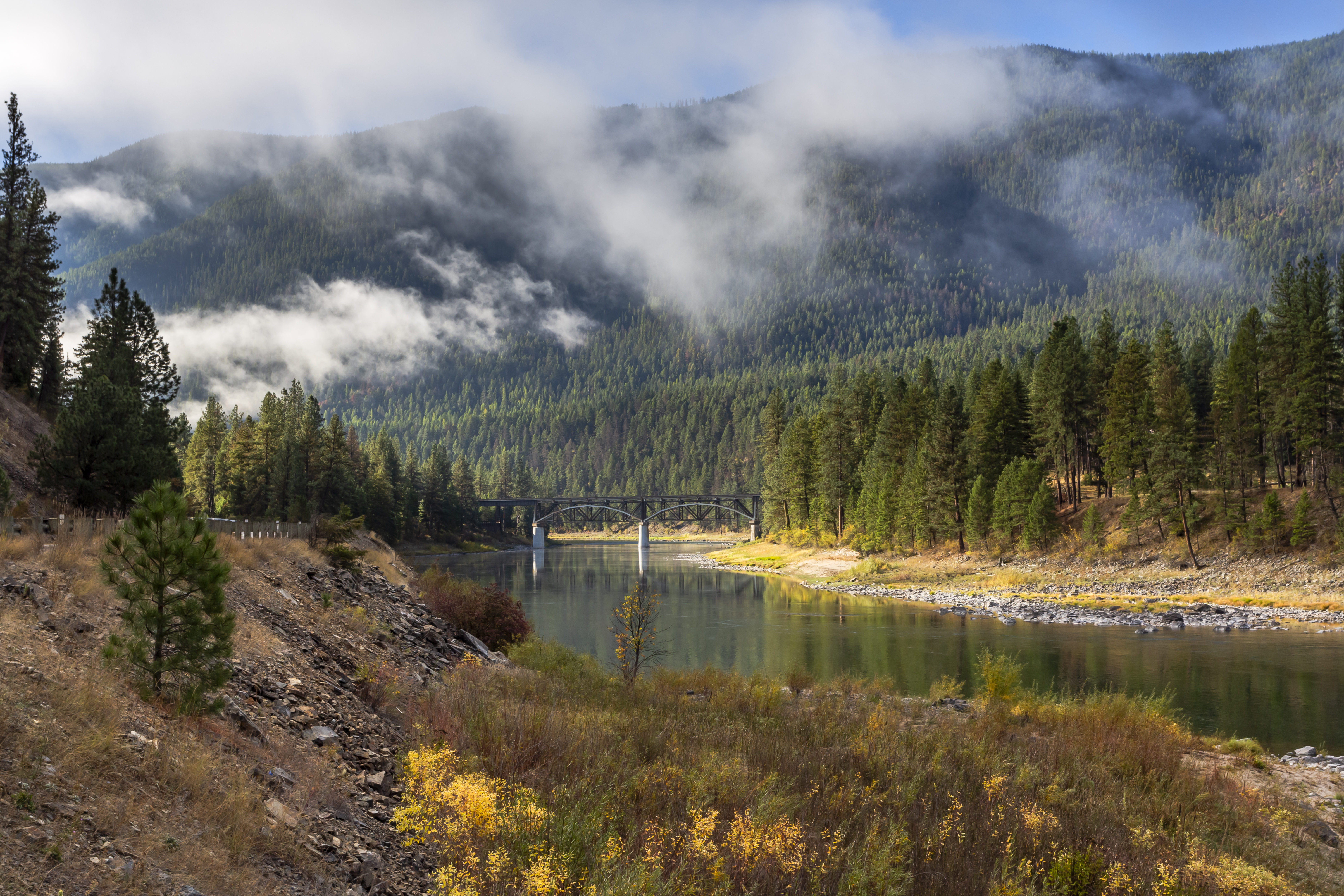
Bridge over the Clark Fork during Autumn
Regional Access

A River-Road Town With Its Own Hospital

Plains sits on Montana Highway 200, the two-lane route that follows the Clark Fork the length of Sanders County, and at the foot of Montana Highway 28, which climbs northeast over the hills to Hot Springs country and reaches US 93 at Elmo on Flathead Lake: the back door to Kalispell and the Flathead Valley. Paradise is the next town a few miles upriver, and Thompson Falls, the county seat, is a straightforward drive downriver for courthouse business. Missoula, roughly an hour and a half away, is the run most households make for the airport, specialists, and box stores. There is no public transit; life here assumes a reliable vehicle and comfort with two-lane winter driving.

The town's standout service is healthcare. Clark Fork Valley Hospital, established in 1971, is a not-for-profit 16-bed critical access hospital right in Plains, with 24/7 emergency care, acute inpatient and surgical services, imaging, a 28-resident long-term care facility, and a Family Medicine Network of clinics in Plains, Thompson Falls, and Hot Springs. In a region where many towns face 60-plus-mile ambulance rides, having an emergency room and primary care in town is a genuine quality-of-life anchor; though residents still travel to Missoula or Kalispell for advanced specialty care, and anyone with ongoing medical needs should map out that referral picture before buying.

Living Here

Housing Character in a Working Ranch Valley

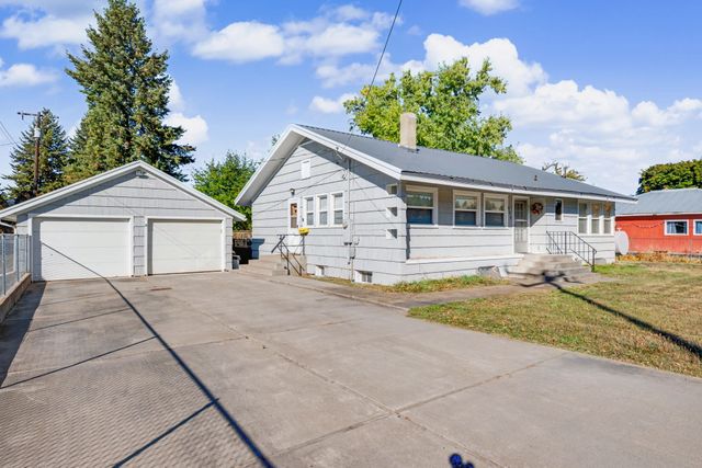
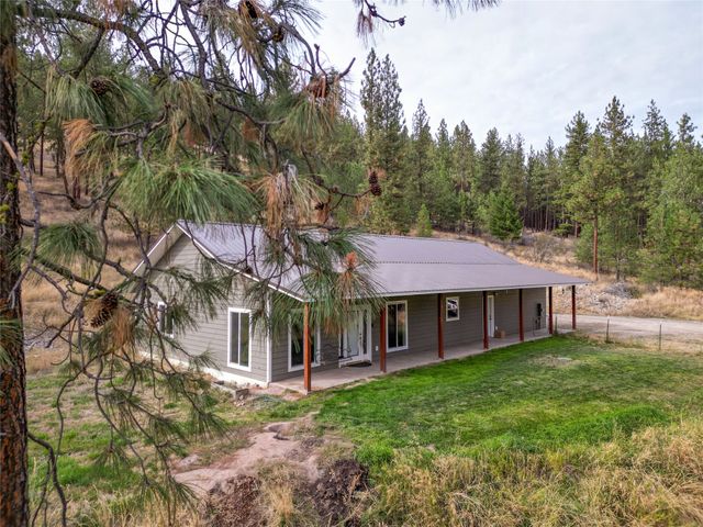
Housing around Plains follows the lay of the land. Inside the compact town grid — an incorporated town, so municipal government and town services apply within the limits — you find modest railroad-era homes and newer infill on walkable blocks near the school and hospital. Along the Clark Fork, riverfront homes and small acreages trade on frontage and views; above the valley floor, bench land carries irrigated pasture and hay ground, and the timbered draws climbing toward Lolo National Forest hold cabin and acreage properties. Each ring comes with its own homework: floodplain mapping and bank stability on river parcels, wells and septic systems outside town limits, water rights on irrigated ground, and road maintenance and wildfire exposure on forest-edge land. None of it is unusual for rural Montana; it is simply the diligence that seasoned buyers here treat as standard.

The economy still carries its founding DNA: farming, ranching, and timber built Plains after the railroad arrived in the 1880s — now anchored by the hospital, the schools, main-street trade, and the seasonal pull of the river and forest. Growth has stayed modest, which is much of the appeal: this is one of the more affordable, unhurried corners of western Montana's river valleys, a place where the fair is the biggest week of the year, and neighbors know whose hay is down. Buyers who want acreage, water, and a full-service small town in one package will find Plains punches well above its population.

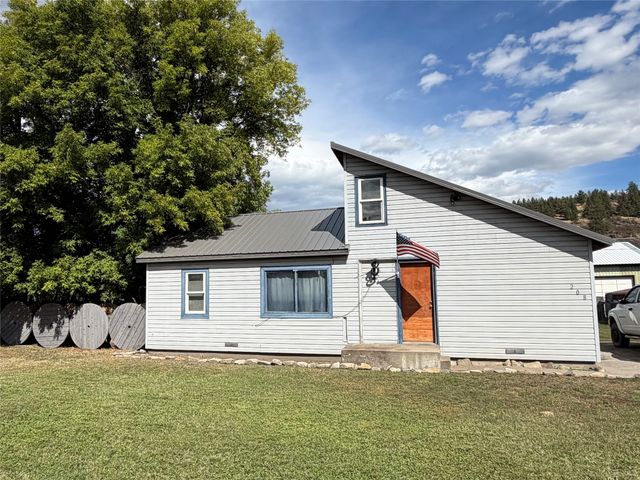
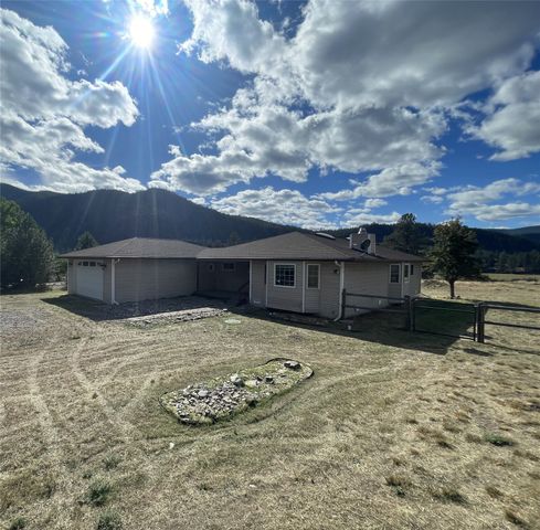
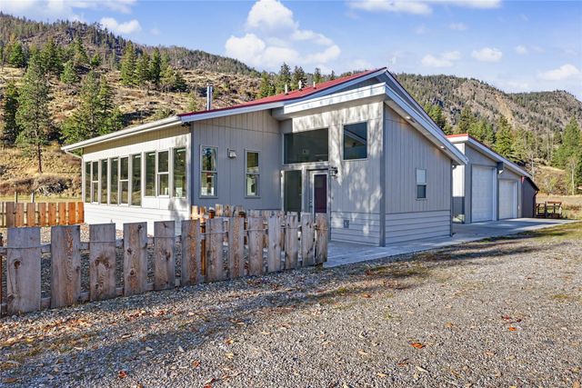
Modest, modern home in Plains, Montana
Local Expertise

Talk With a Plains Local

Floodplain lines on the Clark Fork, wells and septic outside town limits, irrigated ground and water rights, and forest-boundary access vary parcel to parcel around Plains. Our agents who work the lower Clark Fork Valley can give you the current picture.

Contact an Agent
Horses graze in meadow with brewing storm
Sources and review notes

Reviewed by Tatum Hoehn on October 6, 2026.

  1. Census Bureau Profile: Plains town, Montana (GEOID 160XX00US3058150)U.S. Census Bureau · Accessed August 11, 2026
  2. Census geocoder geographies response for Plains town coordinates (incorporated place GEOID 3058150; Sanders County 30089)U.S. Census Bureau · Accessed August 11, 2026
  3. Plains, Montana (2020 census population, coordinates, Wild Horse Plains history)Wikipedia · Accessed August 11, 2026
  4. Plains (elevation, Lolo National Forest trails, Koo-Koo-Sint bighorn viewing, golf, farmers market)Montana Office of Tourism (visitmt.com) · Accessed August 11, 2026
  5. Plains, MT (community overview: river recreation, dining, events)Glacier Country Tourism (glaciermt.com) · Accessed August 11, 2026
  6. Clark Fork Valley Hospital: 16-bed critical access facility in Plains with 28-bed long-term care and Family Medicine Network clinicsClark Fork Valley Hospital · Accessed August 11, 2026
  7. Clark Fork Valley Hospital (24/7 emergency care, imaging, MONIDA cooperative)Wikipedia · Accessed August 11, 2026
  8. Common Core of Data school detail: Plains Elementary School (ID 302085000622), PK-6, 2024-25 enrollmentNational Center for Education Statistics · Accessed August 11, 2026
  9. Common Core of Data school detail: Plains High School (ID 302085000623), grades 9-12, 2024-25 enrollmentNational Center for Education Statistics · Accessed August 11, 2026
  10. Sanders County Fair and PRCA Rodeo, Plains (fairgrounds at 30 River Road; three nights of PRCA rodeo)Sanders County Fair · Accessed August 11, 2026
  11. Recreation Region: Plains/Thompson Falls Area, Lolo National Forest (campgrounds, Clark Fork access, rental lookouts)U.S. Forest Service · Accessed August 11, 2026
  12. Lower Clark Fork River Drainage, Statewide Fisheries Management Plan 2023-2026 (species, angler use, dams)Montana Fish, Wildlife & Parks · Accessed August 11, 2026
  13. Wild Horse Plains historical marker, Dorothy V. Johnson Park, Plains (marker text transcription)Historical Marker Database (hmdb.org) · Accessed August 11, 2026
  14. Sanders County, Montana (Thompson Falls county seat; 2020 county population 12,400; county fair in Plains)Wikipedia · Accessed August 11, 2026
  15. Montana Highway 28 (begins at MT 200 in Plains; 46.7 miles northeast to US 93 at Elmo)Wikipedia · Accessed August 11, 2026
  16. Montana Highway 200 (follows the Clark Fork River through Sanders County)Wikipedia · Accessed August 11, 2026
  17. West Lolo Complex Fire (2021 lightning fires near Plains; 39,053 acres)Wikipedia · Accessed August 11, 2026

Area Guide content is unavailable.