Kootenai Falls & Swinging Bridge Park near Libby, MT - Photo Credit: Kalispell Visual
Welcome to

Kootenai Valley

Two river towns under the Cabinets, where big water meets deep cedar forest

region · Northwest Montana

Reviewed by Tatum Hoehn · October 15, 2026

Explore Kootenai Valley Real Estate →
2,775
Libby Population (2020 Census)
797
Troy Population (2020 Census)
1,892 ft
Troy Elevation, Lowest Town in Montana
94,272 acres
Cabinet Mountains Wilderness
582
Libby Elementary Enrollment, PK-6 (2024-25)

Statistics as of June 30, 2025

Local Overview

About Kootenai Valley

The Kootenai Valley anchors Montana's far northwest corner, where the Kootenai River bends west through Lincoln County on its way to Idaho. Two incorporated towns share the valley about 18 miles apart on US Highway 2: Libby, the county seat, home to 2,775 people at the 2020 census, and Troy, home to 797 and — at under 1,900 feet — the lowest-elevation town in Montana. The Cabinet Mountains wall off the southern skyline, the Purcells rise to the north, and the Kootenai National Forest wraps both towns so completely that public forest starts minutes from either main street. Low elevation and inland-Pacific moisture make this some of the greenest, most heavily timbered country in the state — the kind of place that grows 500-year-old cedars.

Both towns grew up with the Great Northern Railway in the 1890s and spent the next century working timber and minerals. Libby also carries a harder chapter that the community has met head-on: vermiculite mined outside town for decades carried asbestos that caused serious illness, and the town became the site of one of the largest environmental cleanups in EPA history. More than two decades in, that work is far along — thousands of properties have been investigated and cleared, successive pieces of the site have formally come off the federal Superfund list, and the riverfront and the former mill property have been returned to a park and a business park. The Living Here section below covers what this means, practically, for a buyer.

What the valley offers day to day is scale without crowds: Montana's largest undammed waterfall roaring between the two towns, a 90-mile reservoir behind Libby Dam, a blue-ribbon trophy trout river running past both back doors, a volunteer-run powder hill up Pipe Creek, and wilderness peaks that hold snow all summer. Libby keeps the county's institutions — a 25-bed hospital, the courthouse, an Amtrak stop downtown — while Troy holds down the quieter, lower, western end of the valley near the Idaho line. It suits people who want working-forest country with real services rather than a resort scene.
Seasonality

Living in the Kootenai Valley Through the Seasons

Winter here is a two-level affair. The valley floor sits lower than almost anywhere in Montana, so the towns themselves see gentler snow totals than the state's high country — but the mountains ringing them load up, and locals take advantage. Turner Mountain's volunteer-run chairlift serves fall-line powder 22 miles up Pipe Creek Road, the Forest Service grooms more than 60 miles of snowmobile trail and 15 miles of cross-country ski track in the Libby area from December through March, and the season asks the usual northwest Montana competencies: good tires, a plowing plan for anything off the highway, and patience with short valley days.

Summer flips life toward the water and outdoor activities like golfing and hiking — houseboats and campgrounds on Lake Koocanusa, drift boats working the trophy water below the dam, and steady visitor traffic pulling off US 2 at Kootenai Falls. Fall brings hunting seasons and larch turning gold across the hillsides. The honest tradeoff of living inside a working national forest is late-summer wildfire smoke, which drifts into the valley in some years; residents treat defensible space, home air filtration, and a weather eye on fire season as routine parts of forest-country life rather than reasons to leave it.

Libby area golf course - Photo Credit: Kalispell Visual
Kootenai Falls - Photo Credit: Kalispell Visual
Regional Access

US 2, Amenities, and Getting What You Need

US Highway 2 is the valley's spine: Troy and Libby sit about 18 miles apart along it, with the falls roughly midway between them. Kalispell and the Flathead Valley — the region's hub for big-box shopping, medical specialists, and commercial flights — lie a couple of hours east; westbound, the highway drops down the Kootenai past Troy into Idaho toward Bonners Ferry and Sandpoint, with Spokane beyond. Libby also keeps two links most towns this size lost long ago: an Amtrak station downtown on Mineral Avenue along the northern east–west passenger line, and a general-aviation airport about seven miles south of town.

For a remote county, the healthcare picture is stronger than newcomers expect: Cabinet Peaks Medical Center in Libby is a 25-bed critical access hospital with a 24-hour emergency department, a birth center, general surgery, imaging, and infusion services, and the county seat concentrates government offices, the courthouse, and social services in town.

Living Here

Housing, a Working-Forest Economy, and the Cleanup Story

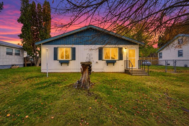
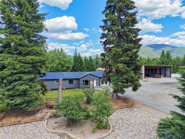
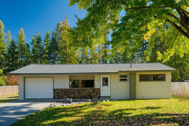
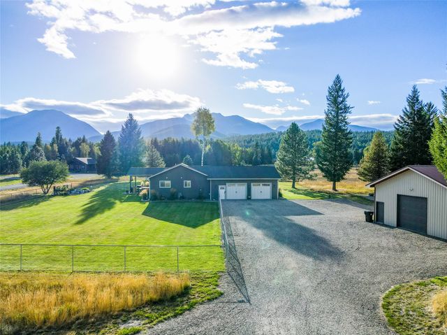
Housing runs the full valley range: modest in-town homes on walkable grids in both Libby and Troy, riverfront parcels along the Kootenai, cabins and view lots up Highway 37 toward Lake Koocanusa, and timbered acreage up the Pipe Creek, Bull Lake, and Yaak roads — where access easements, forest-road maintenance, and winter reachability belong on every diligence list. The economy has been remaking itself for a generation: the big timber and mining payrolls wound down (Troy's silver-copper mine closed in 2015), and today's mix leans on the hospital, schools and county government, wood products, small business, and a steadily growing recreation trade.

Then there is the question every out-of-town buyer eventually asks about Libby. The W.R. Grace vermiculite mine left asbestos contamination that made this one of the largest cleanups in EPA history, and the town's answer has been two decades of methodical work: more than 7,600 properties investigated, more than 2,600 cleaned, over a million cubic yards of soil removed, and successive portions of the site — the riverfront, the highway corridors, the former mill property that is now the Kootenai Business Park — formally deleted or proposed for deletion from the federal Superfund list, leaving the remote former mine site as the main remaining unit. EPA's own project managers describe the in-town program as protective of human health. The practical takeaway is neither alarm nor amnesia: parcel-level cleanup records exist, institutional controls still apply in places, and a local agent can pull the documented status of any specific property before you write an offer.

Mountain-style home above the Kootenai River
Local Expertise

Talk With a Kootenai Valley Local

Parcel-level cleanup records, Kootenai riverfront and Koocanusa frontage quirks, forest-road access and easements, and winter logistics all vary property to property between Libby and Troy. Our agents who live and work in the valley can give you the current, parcel-specific picture.

Contact an Agent
Kootenai Falls - Photo Credit: Kalispell Visual
Sources and review notes

Reviewed by Tatum Hoehn on October 15, 2026.

  1. Census Bureau Profile: Libby city, Montana (GEOID 160XX00US3043450)U.S. Census Bureau · Accessed August 11, 2026
  2. Census Bureau Profile: Troy city, Montana (GEOID 160XX00US3075025)U.S. Census Bureau · Accessed August 11, 2026
  3. Libby, Montana (2020 census population, county seat, coordinates, mine and Superfund history)Wikipedia · Accessed August 11, 2026
  4. Troy, Montana (2020 census population; lowest-elevation town in Montana; Troy Mine closure)Wikipedia · Accessed August 11, 2026
  5. Kootenai Falls (largest undammed waterfall in Montana; swinging bridge history; tribal significance)Wikipedia · Accessed August 11, 2026
  6. Kootenai Falls listing (undammed falls, swinging bridge, wildlife management area, Kootenai tribal significance)Montana Office of Tourism (visitmt.com) · Accessed August 11, 2026
  7. Libby (elevation, attractions, Cabinet View Golf Club, nearby-town mileages)Montana Office of Tourism (visitmt.com) · Accessed August 11, 2026
  8. Troy (elevation 1,892 ft, lowest in Montana; Ross Creek Cedars; Yaak distances)Montana Office of Tourism (visitmt.com) · Accessed August 11, 2026
  9. Kootenai National Forest: Cabinet Mountains Wilderness (94,272 acres; Snowshoe Peak 8,738 ft; 94 miles of trails)U.S. Forest Service · Accessed August 11, 2026
  10. Kootenai National Forest Recreation: Libby Area (Kootenai Falls 10 miles downstream on US 2; blue ribbon trout stream; 400+ miles of trails; groomed winter trails)U.S. Forest Service · Accessed August 11, 2026
  11. Lake Koocanusa Scenic Byway (67 miles on MT 37; campgrounds and boat ramps; Koocanusa name origin)U.S. Forest Service · Accessed August 11, 2026
  12. Libby Dam and Lake Koocanusa Fact Sheet (432-ft dam 17 miles upstream of Libby; 90-mile reservoir into British Columbia)U.S. Army Corps of Engineers, Northwestern Division · Accessed August 11, 2026
  13. Statewide Fisheries Management Plan 2023-2026: Kootenai River Drainage (trophy wild rainbow fishery below Libby Dam; 1997 state-record 33-lb rainbow)Montana Fish, Wildlife & Parks · Accessed August 11, 2026
  14. Turner Mountain Ski Resort (22 miles north of Libby; volunteer nonprofit; double chairlift; opened 1961)Wikipedia · Accessed August 11, 2026
  15. EPA deletes portion of Libby, Montana Superfund site from National Priorities List (Operable Unit 1)U.S. Environmental Protection Agency · Accessed August 11, 2026
  16. Libby Asbestos Site: Superfund Site Profile, Cleanup Activities (7,600+ properties investigated; 2,600+ cleaned; operable unit status)U.S. Environmental Protection Agency · Accessed August 11, 2026
  17. EPA Proposes Delisting Portion of Libby Superfund Site that Includes Industrial Park (February 2024; only the former mine unit would remain active)Flathead Beacon · Accessed August 11, 2026
  18. Center for Asbestos Related Disease (CARD), Libby (site states the clinic is permanently closed as accessed August 2026)Center for Asbestos Related Disease · Accessed August 11, 2026
  19. Cabinet Peaks Medical Center (25-bed critical access hospital in Libby; emergency department, birth center, surgery)Cabinet Peaks Medical Center · Accessed August 11, 2026
  20. Common Core of Data school search results: Libby, MT (Libby Elementary 582, Libby Middle 182, Libby High 363; 2024-25)National Center for Education Statistics · Accessed August 11, 2026
  21. Common Core of Data school detail: Libby High School (ID 301653000518), Libby K-12 Schools district, 2024-25 enrollment 363National Center for Education Statistics · Accessed August 11, 2026
  22. Common Core of Data school search results: Troy, MT (W F Morrison 158, Troy Junior High 77, Troy High 132, Yaak School 4; 2024-25)National Center for Education Statistics · Accessed August 11, 2026
  23. Amtrak station: Libby, MT (100 Mineral Avenue; station building with waiting room)Amtrak · Accessed August 11, 2026
  24. LibbyMT.com community site (Logger Days in June; Nordicfest; local events calendar)LibbyMT.com · Accessed August 11, 2026
  25. Libby Nordicfest (Scandinavian heritage festival; bunad parade, fjord horse show; site content dated, verify current schedule)Libby Nordicfest · Accessed August 11, 2026

Area Guide content is unavailable.