Aerial view of the North Dakota State Capitol building in Bismarck
Welcome to

Bismarck

Capital-city life on the Missouri, where the Art Deco capitol tower rises over the prairie

town · Bismarck-Mandan

Reviewed by Tatum Hoehn · October 5, 2026

Explore Bismarck Real Estate →
77,963
Population Estimate (July 1, 2025)
135,786
Bismarck-Mandan Metro Population (2023 Estimate)
14,098
Bismarck Public Schools Enrollment, 29 Schools (2024-25)
85+ miles
Trails Managed by Bismarck Parks and Recreation
50.5 in
Average Annual Snowfall (1991-2020 Normals)

Statistics as of July 1, 2025

Local Overview

About Bismarck

Bismarck is North Dakota's capital and the seat of Burleigh County, set on the east bank of the Missouri River where the prairie steps down to cottonwood bottomland. The city began in 1872 as a Northern Pacific Railway crossing point and took its name a year later in honor of the German chancellor — a bid to attract German settlement that stuck. It became the territorial capital in 1883 and the state capital at statehood in 1889, and the government it hosts has anchored the town ever since. The skyline's signature is the State Capitol itself: a limestone Art Deco tower built 1931–1934 after fire destroyed its predecessor, still the tallest building in North Dakota, standing over a 160-acre campus of elm-lined mall, arboretum trail, and restored prairie.

The Census Bureau estimated 77,963 residents in mid-2025, up about six percent since 2020, and the full Bismarck-Mandan metro — including the twin city of Mandan just across the river in Morton County — was estimated near 136,000 in 2023. That scale buys real amenities without big-city friction: two full-service hospital systems, a commercial airport with mainline connections, a public school district of more than 14,000 students, and two campuses in town, all within a compact, easy-to-navigate street grid. State government is the largest employer, with the two health systems close behind and energy-sector services woven through the regional economy.

What distinguishes daily life here is the river. Bismarck and Mandan face each other across a working stretch of the Missouri that doubles as the metro's recreation spine — boat ramps and fishing access minutes from downtown, a paved riverfront trail running the length of the city and across to the Mandan side, the Dakota Zoo and a cruising riverboat on the banks, and Lewis and Clark heritage sites in every direction. For someone relocating from a larger market, Bismarck reads as a stable, government-anchored small metro where the commute is short, winters are genuinely cold, and the river is part of the weekly routine rather than a view from a distance.
Seasonality

Living in Bismarck Through the Seasons

Bismarck's climate is honestly continental, and newcomers do best arriving with clear eyes. January's mean temperature runs near 13 degrees Fahrenheit, wind is a fact of life on the open prairie, and the 1991–2020 normals put average snowfall at 50.5 inches a year. Residents treat winter as a season to be equipped for rather than endured: remote starters, good coats, and a snowblower are standard gear, and the city's weather record — kept at the airport station continuously since 1936 — documents both hard cold snaps and long stretches of brilliant, dry winter sun. That sun is the compensating fact: Bismarck averages roughly 2,700 hours of sunshine a year, about 61 percent of what's possible, which is more than many warmer cities can claim.

Summer flips the city outdoors and toward the water. July's mean temperature near 71 degrees Fahrenheit makes for warm days and cool evenings, and the river season runs hard from Memorial Day through Labor Day — boats on the Missouri, the riverboat cruising from the landing, campgrounds full at General Sibley Park, and the riverfront trail busy from Chief Looking's Village to the Mandan side. Spring and fall are short, changeable, and prized; annual precipitation of about 19 inches means most of the year is dry underfoot. The honest trade is a real winter in exchange for sunny, low-humidity summers and four unmistakable seasons.

View of Bismarck, North Dakota from the Indian Village Overlook to I-94 Bridge and Missouri River
Aerial View of Missouri River Bridges in Bismark, North Dakota
Regional Access

A Self-Sufficient Capital: Getting There and Getting Care

Bismarck sits at the junction of Interstate 94 and U.S. Highway 83, roughly midway across the state — Fargo lies east on the interstate, the Theodore Roosevelt badlands west, and Minot north up Highway 83. Most days, though, the practical geography is the five-minute kind: Bismarck and Mandan form one compact metro joined by interstate and river bridges, and commutes are measured in minutes rather than miles. Bismarck Airport, on the city's south side, has hosted commercial service since 1931 and offers mainline connections through Minneapolis on Delta, Denver on United, and Dallas–Fort Worth on American, plus leisure routes on Allegiant — schedules evolve, so confirm current service, but the pattern of daily hub connections is long established.

Healthcare is a genuine strength for a metro this size, because Bismarck serves as the medical center for a huge rural region. Sanford Medical Center Bismarck is a Level II trauma and stroke center with intensive care, cardiac, and oncology services and Magnet nursing designation held since 2008; CHI St. Alexius Health Bismarck, an acute-care medical center rooted in a Benedictine founding in 1885, has served central and western North Dakota for generations. For relocating households used to driving an hour for a specialist, having two full-service systems in town — plus the University of Mary and Bismarck State College feeding the health and technical workforce — changes the calculus.

Living Here

Housing Character in a Steady, Government-Anchored Economy

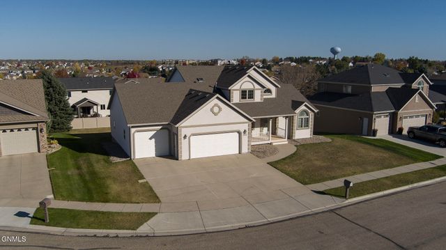
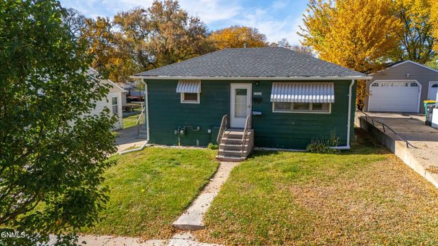
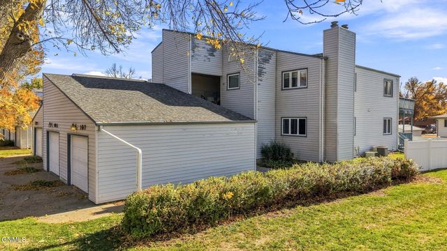
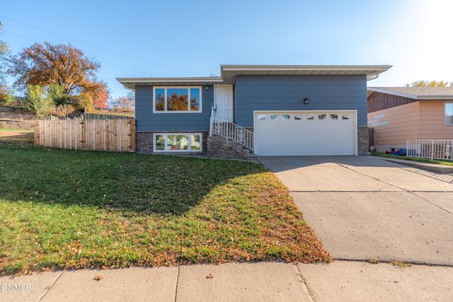
Bismarck's neighborhoods read like rings of the city's own history. Close to downtown, the Cathedral District holds homes dating from the 1880s onward under street-lining American elms — the kind of walkable historic core where character homes come with character-home maintenance. Around it spread the mid-century neighborhoods built as the capital grew, and newer subdivisions continue to push the city's edges outward. River-adjacent living is part of the market's appeal, and it comes with a routine piece of diligence: the Missouri's flow is managed by upstream dams, and 2011's record releases from Garrison Dam put river communities including Bismarck on flood watch — so flood-zone maps, elevation, and insurance questions belong on the checklist for low-lying parcels, the same way a local would treat them.

The economy underneath the housing market is one of the steadiest in Clearwater's footprint: state government is the largest employer, two hospital systems anchor thousands of jobs, and energy-sector services — supported by Bismarck State College's specialized energy programs — round out the base. That mix has produced consistent, unhurried growth: about six percent population gain since 2020 per Census estimates, absorbed by a city that plans around a capital's long horizons rather than a boomtown's swings. A local Clearwater agent can walk you through how the historic districts, established mid-century streets, and newer growth areas differ block by block, and what river proximity means for any specific address.

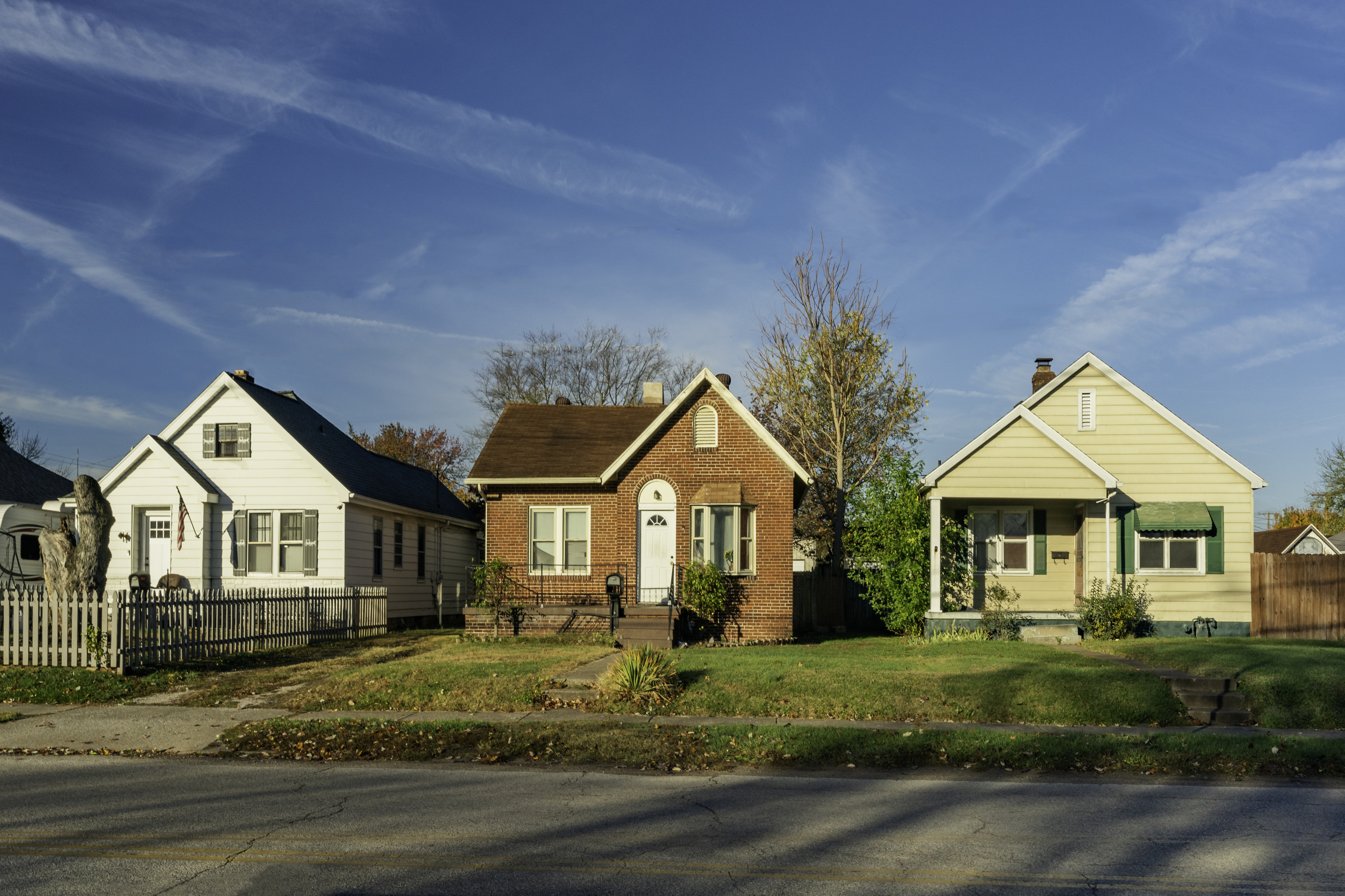
Small houses with character in a mid-western town
Local Expertise

Talk With a Bismarck Local

Flood-zone questions on river-adjacent parcels, the tradeoffs between a Cathedral District historic home and new construction on the edge of town, and the Bismarck-versus-Mandan decision all benefit from someone who lives here. Our agents can give you the street-level picture.

Contact an Agent
View of Bismarck, North Dakota from the Indian Village Overlook to I-94 Bridge and Missouri River
Sources and review notes

Reviewed by Tatum Hoehn on October 5, 2026.

  1. QuickFacts: Bismarck city, North Dakota (2020 Census and July 1, 2025 V2025 estimate)U.S. Census Bureau · Accessed August 11, 2026
  2. Bismarck, North Dakota (history, climate normals 1991-2020, employers, Cathedral District, coordinates)Wikipedia · Accessed August 11, 2026
  3. Bismarck metropolitan area (2023 MSA estimate; Burleigh, Morton, and Oliver counties)Wikipedia · Accessed August 11, 2026
  4. Common Core of Data district detail: Bismarck 1 (ID 3800014), 2024-25 enrollment and schoolsNational Center for Education Statistics · Accessed August 11, 2026
  5. Trails and Walking: more than 85 miles of trails; Missouri Valley Millennium Legacy Trail and riverfront parksBismarck Parks and Recreation District · Accessed August 11, 2026
  6. Bismarck Parks and Recreation District (boat ramps, fishing access, campgrounds at General Sibley and Eagles parks)Bismarck Parks and Recreation District · Accessed August 11, 2026
  7. Fort Abraham Lincoln State Park (est. 1907; On-A-Slant Village, Custer House, trails and camping)North Dakota Parks and Recreation · Accessed August 11, 2026
  8. North Dakota State Capitol (Art Deco tower built 1931-1934; tallest building in North Dakota; 160-acre grounds)Wikipedia · Accessed August 11, 2026
  9. Dakota Zoo (founded 1961; about 400 animals of 125 species on the Bismarck riverfront)Dakota Zoo · Accessed August 11, 2026
  10. Lewis and Clark Riverboat (Missouri River cruises from the Bismarck riverfront, Memorial Day through Labor Day)Lewis & Clark Riverboat · Accessed August 11, 2026
  11. Sanford Medical Center Bismarck (Level II trauma and stroke center; Magnet designation since 2008)Sanford Health · Accessed August 11, 2026
  12. CHI St. Alexius Health Bismarck (acute-care medical center serving the region since 1885)CHI St. Alexius Health (CommonSpirit Health) · Accessed August 11, 2026
  13. Bismarck Airport History and Facts (Delta to Minneapolis, United Express to Denver, American to Dallas-Fort Worth, Allegiant leisure routes)Bismarck Airport (City of Bismarck) · Accessed August 11, 2026
  14. University of Mary (founded 1959; Benedictine; 3,973 students fall 2025; bluff campus south of Bismarck)Wikipedia · Accessed August 11, 2026
  15. Bismarck State College (founded 1939; 4,206 students 2024-25; energy program specialties)Wikipedia · Accessed August 11, 2026
  16. Daily Summaries station details: Bismarck Municipal Airport, ND US (GHCND:USW00024011), record since 1936NOAA National Centers for Environmental Information · Accessed August 11, 2026
  17. Lake Oahe (reservoir reaching nearly to Bismarck; walleye, pike, smallmouth, catfish, and maintained Chinook salmon fishery)Wikipedia · Accessed August 11, 2026
  18. Garrison Dam (record June 2011 releases above 140,000 cfs; upstream of Bismarck)Wikipedia · Accessed August 11, 2026
  19. 2011 Missouri River Flood (Bismarck among threatened cities)Wikipedia · Accessed August 11, 2026

Area Guide content is unavailable.